|
General Geography and Population Details of Barbados Geography page 1 |
|
 |
 |
 |
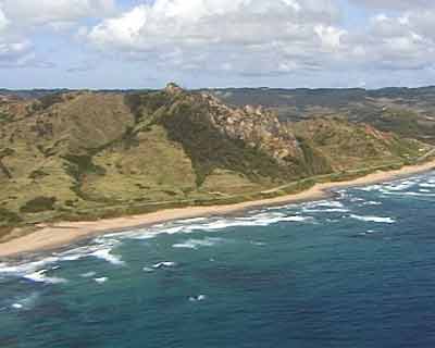 |
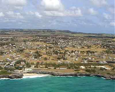
Coastline: 97 km Climate: tropical; rainy season (June to October) Terrain: relatively flat; rises gently to central highland region Elevation extremes: lowest point: Atlantic Ocean 0 m highest point: Mount Hillaby 336 m Natural hazards: infrequent hurricanes; periodic landslides Population: 276,607 |
 |
 |
 |
| Languages:
English Religions: Protestant 67% (Anglican 40%, Pentecostal 8%, Methodist 7%, other 12%), Roman Catholic 4%, none 17%, other 12%Government type: parliamentary democracy; independent sovereign state within the Commonwealth Administrative divisions: 11 parishes; Christ Church, Saint Andrew, Saint George, Saint James, Saint John, Saint Joseph, Saint Lucy, Saint Michael, Saint Peter, Saint Philip, Saint Thomas; note - the city of Bridgetown may be given parish status |
 |
 |
Independence: 30 November 1966 (from UK) National holiday: Independence Day, 30 November (1966) Constitution: 30 November 1966 Legal system: English common law; no judicial review of legislative acts Flag description: |
|
|
Three equal vertical bands of blue (hoist side), gold, and blue with the head of a black trident centred on the gold band; the trident head represents independence and a break with the past (the colonial coat of arms contained a complete trident) |
|
Activities
Barbados
Beaches
Calendar
Diving
Ecology
Exploring
Fun Facts
Geography
History
Home
Hotels
MDDM
Restaurants
& Nightlife
Tourism
Transport |
| BARBADOS HOTEL GUIDE NEXT: Geography page 2 |